Killarney Lake Park a XC Ski and Geological Gem

Submitted by Toon Pronk, Geochemist/Surficial Geology
This Fredericton park is Wostawea’s home turf and I think we should get to know it a bit more intimately. In order to do so we need to understand some of its geological past. One of the main features is the ice age esker which dams the lake. The most popular walking trail goes around the lake and is 1.6km long (one mile) and on the northeast end follows the crest of the esker. An esker is a ridge of gravel and sand that was deposited inside or underneath a glacier sometime at the end of the last ice age between 12 and 14 thousand years ago.

On the LiDAR (Laser imaging, Detection, and Ranging) image we can see the landscape in detail, without the vegetation. Some of the trails are visible on the image, landmarks are numbered 1 through 8. The escarpment is marked by the interrupted line.
Another geological feature of the park is the Killarney Escarpment, not quite as impressive and long as the Niagara Escarpment but significant, which follows a splay of the Fredericton Fault. The escarpment at its highest point has a drop of 50m over 100m (an incredible 50% slope) at its steepest part and a total drop of just over 100m to the brook 400m away. I know some bikers who would just love to take this on. It starts at the northeastern corner of the lake and climbs in height fairly rapidly over about 500m along one of the main trails (follow the E(asy) trail to where the Black trail (#5) starts, then climbs to its maximum height as you follow the fault to the northeast for another 200 meters (between the black and the blue trail), and it crosses the Nashwaak River at Penniac just over 3km from the lake. Glacial erratics and local Carboniferous sandstone bedrock. The local sandstone is over 300 million years old and part of a sedimentary basin, located within a super continent called Gondwanaland, a precursor of Pangea, and stretched from south of Fredericton to beyond the Magdalen Islands. At this time the area was located close to the equator. The fault line (break) which is the underlying cause of the escarpment is likely related to the breaking up of Pangea and the formation of the Bay of Fundy and the Atlantic Ocean.

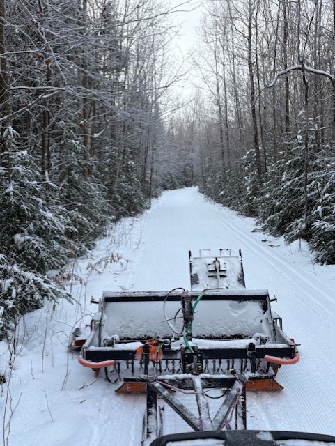
Several lower relief morainal ridges, formed underneath the glacier, are scattered throughout the park, all oriented parallel to the escarpment and somewhat mimicking the Carboniferous sandstone bedding, creating an almost perfect landscape for cross country ski trails. Just think about the beautiful hills on parts of Yellow, Red, and Blue (my personal favorite). We are in good company as throughout Canada and the world many XC ski facilities are build on moraine features (Hardwood ON, Canmore AB, Holmenkollen NOR, Ruka FIN, etc.). The landscape already has slopes well-suited for XC skiing and can be relatively easily modified.
Many people think about the lake and the beach when they hear “Killarney Park”, but as Wostaweans know, the park is very extensive at 645ha (almost twice Central Park in NYC and more than half the size of the Amsterdam (Forest) Bospark (at 10 km2). It has many kilometers of old trails and woods roads, as well as newly constructed recreational trails that are being used for skiing, hiking, and biking. It has some bubbling springs, brooks, and wetlands and throughout the seasons there is a whole new world to discover if you are willing to go and explore.
The park’s trail system extends well beyond the lake and the beach, and if you hike 4km out to the top of the park (3km as the crow flies) you have a view over the Nashwaak Valley and village of Penniac. The recently improved trail network in the park makes for the most exciting cross-country ski facilities in the Maritime Provinces. In the summertime the trails further from the lake are under-utilized but provide a perfect place to find quiet within the city limits on foot or by bike. Fredericton is very lucky to have parks like Odell and Killarney Lake.
As we visit the park we interact with the landscape, we become a geological ‘agent’, we build paths, we compact soil, we breath the chemistry of the outdoor air. We become one with the landscape in this geological era we have started calling the Anthropocene (which means humans have become a geological force). Let’s all look after the park together.